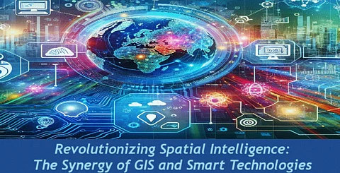

In an age of rapid technological innovation, the integration of Geographic Information Systems (GIS) with emerging technologies such as the Internet of Things (IoT), Artificial Intelligence (AI), and Big Data is reshaping our world. Arun Kumar Epuri, an expert in this domain, highlights how this synergy transforms various sectors, fostering efficiency, sustainability, and responsiveness.
The integration of GIS with IoT has transformed how we monitor and act on real-time spatial data. With over 27 billion IoT devices projected by 2025, GIS systems are leveraging this influx of data to enhance urban functionality and environmental sustainability.
Take smart traffic systems as an example. By using IoT sensors connected to GIS platforms, cities have achieved up to a 20% reduction in travel times and a 15% drop in carbon emissions. Similarly, IoT-enabled GIS is revolutionizing environmental monitoring by offering real-time air and water quality assessments, enabling authorities to respond swiftly to ecological concerns. These advancements are making urban areas more livable while fostering environmental resilience.
Artificial Intelligence is unlocking the full potential of GIS by enabling sophisticated analysis of extensive geospatial datasets. With AI-powered pattern recognition and predictive modeling, GIS applications have expanded significantly, from urban planning to disaster management.
In environmental conservation, AI-integrated GIS systems have achieved a 95% accuracy rate in detecting deforestation, identifying areas as small as 0.1 hectares. This capability provides early warnings for proactive interventions, protecting ecosystems from severe damage. Beyond conservation, AI enhances urban planning by predicting growth patterns, optimizing resource allocation, and improving disaster preparedness. By streamlining operations and enabling precise forecasts, AI and GIS are making cities more adaptive and sustainable.
The integration of Big Data with GIS has revolutionized the processing and analysis of geospatial information. With data volumes projected to hit 175 zettabytes by 2025, GIS platforms leverage Big Data for actionable insights. During COVID-19, GIS dashboards processed terabytes of data daily to map infection hotspots, track virus spread, and guide resource allocation, showcasing their potential for future crises. Beyond healthcare, this synergy empowers urban planners to address infrastructure demands, optimize logistics, and enhance disaster response strategies. Together, Big Data and GIS enable informed decisions, driving efficiency and resilience across industries.
GIS continues to evolve by embracing emerging technologies like edge computing, quantum computing, and augmented reality (AR). These innovations are set to redefine how we visualize and process spatial data.
Edge computing, for example, reduces data latency, enabling real-time analysis for critical applications like autonomous vehicle navigation and disaster management. By 2025, it is estimated that 75% of enterprise-generated data will be processed at the edge, allowing faster, more efficient decision-making.
Quantum computing holds enormous potential for GIS, particularly in climate modeling and urban planning. Quantum-enhanced GIS models are expected to boost forecasting accuracy by up to 40%, enabling smarter city designs and improved energy efficiency.
AR and virtual reality (VR) are also revolutionizing how we interact with spatial data. These technologies provide immersive interfaces for urban planners, emergency responders, and other stakeholders to visualize data intuitively. This innovation accelerates decision-making and enhances accuracy across various applications.
While GIS's integration with emerging technologies offers immense potential, it also presents challenges that demand careful navigation. Data governance frameworks must prioritize privacy and security while addressing concerns about AI interpretability and computational resource constraints.
Collaboration among technologists, policymakers, and industry stakeholders is critical to overcoming these challenges. Ensuring that technological advancements align with societal goals—such as improving urban efficiency and addressing environmental challenges—is essential. Ultimately, innovation in GIS must prioritize creating systems that benefit both people and the planet.
1. Urban Efficiency: GIS and IoT-based intelligent traffic systems are transforming cities such as Singapore and Barcelona, thus improving the smooth flow of traffic and reducing air pollution.
2. Disaster Response: GIS-based platforms have dramatically changed disaster response in hurricane- and wildfire-prone areas by providing real-time insights to inform evacuation decisions and allocate resources effectively.
3. Environmental Protection: Amazon rainforest projects are employing AI-based GIS to identify illegal logging activities that threaten biodiversity and climate change.
Summing it all, Arun Kumar Epuri stresses the way that integration of GIS with IoT, AI, and Big Data brings change to multiple fields, contributing to sustainability and resilience. The horizon promises to grow in the context of edge computing, quantum computing, and AR/VR to help expand the capacity of GIS. Ethical use and effective governance will remain an important element for full-scale implementation.